


Tête de Plate Longue

Dervalmarc
User
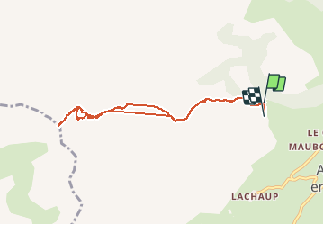

Length
8.4 km

Max alt
2353 m

Uphill gradient
879 m
Km-Effort
20 km

Min alt
1459 m

Downhill gradient
892 m
Boucle
No
Creation date :
2020-08-24 05:26:42.859
Updated on :
2020-08-24 10:34:17.101
3h08
Difficulty : Difficult

FREE GPS app for hiking
 SityTrail
IGN / Geographical institutes
SityTrail Plus
The world is yours!
About
Trail Walking of 8.4 km to be discovered at Provence-Alpes-Côte d'Azur, Hautes-Alpes, Le Dévoluy. This trail is proposed by Dervalmarc.
Description
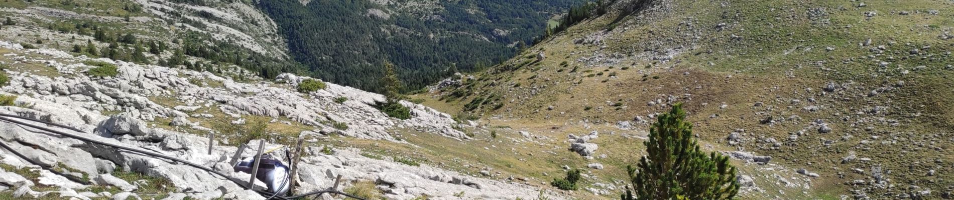
Attention certains passages peuvent impressionner.
Bien assuré son pas dans la montée sous le col sans nom.
Photos


Positioning
Country:
France
Region :
Provence-Alpes-Côte d'Azur
Department/Province :
Hautes-Alpes
Municipality :
Le Dévoluy
Location:
Agnières-en-Dévoluy
Start:(Dec)
Start:(UTM)
726979 ; 4954098 (31T) N.
Comments